| |
It was 18th November 1990 and my destination was to be Muskoka (NC4-YGA-NC4). This was, to me, quite a challenge. My instructor had told me of numerous times he had set out for Muskoka with other students and they had not (even with Loran equipment) been able to find the Muskoka airfield. As the Canada Transport Safety Officer had mentioned, all pilots are doomed to accept a "challenge", as it is a typical personality trait. Also, typical of pilots, I consider my one asset .. that I am a superb navigator (usually). As Mr. King (of the King Aviation Training Video) said: "I have never been lost, I know exactly where I am - right there in the pilot seat").
Planning a perfect flight, takes time. It certainly is not like getting in a car and driving south (although even that should be planned properly).
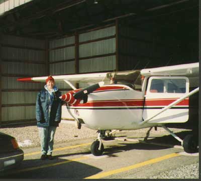
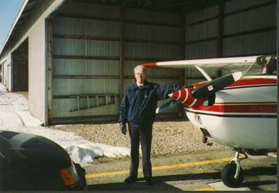
First came the availability of the aircraft - as Lady DYY belongs to a club of fifteen members, it has to be booked in advance. Then there is no guarantee that the weather will be suitable. It came as a rare and amazing coincidence that the weather and DYY would be available on the same day.
Next came the map preparation. I did not like to rely on the Loran (it sometimes could be way out of direction). Also, I had to practice for my commercial pilot licence and would be expected to navigate using basic instruments and compass.
The way to prepare the map is as follows: (don't try to use any
part of this map for navigation. It expired in 1991):-
 This Toronto VNC (VRF Navigation Chart) is scaled at 1 to 500,000.
It costs $15.00. Canadian. I like to have my maps laminated - this
service is available at N.C. Pestill Ltd. 350 Speedvale West, Guelph.
Tel: 821-1980. FAX: 821-7317. Then I write on the map in coloured
inks. This should be the kind of ink only removable by hair-spray
or rubbing alcohol. Don't get the white-board type, which erases
and smudges very easily.
This Toronto VNC (VRF Navigation Chart) is scaled at 1 to 500,000.
It costs $15.00. Canadian. I like to have my maps laminated - this
service is available at N.C. Pestill Ltd. 350 Speedvale West, Guelph.
Tel: 821-1980. FAX: 821-7317. Then I write on the map in coloured
inks. This should be the kind of ink only removable by hair-spray
or rubbing alcohol. Don't get the white-board type, which erases
and smudges very easily.
I have drawn my track line from the northern end of Guelph Lake, direct to Muskoka Airfield. It is in dark green. I never would draw a track line from directly overhead Guelph Airpark because it would, obviously, not be a good place to be meeting other aircraft head-on with one's head down looking at a map. Unfortunately you cannot see Guelph Lake on this scan, as it would not fit, but that's the way it is.
After the line is drawn, I take my square protractor and parallel rule and line it up with the North at some point where my track line passes through the centre hole. Then I can see that the track would be 26ş. However, here there is a variation of 10ş West, (marked on the map with a thin pecked red line) so that must be added. (This does not show on the section of the map I have scanned, but I know it is 9şW at Guelph and 10 on the majority of the track). This gives me a track of 036ş, which I have written in green. While I am doing this, I add 200 to this number and deduct 20. This gives me my return track, which I write at the Muskoka end of the journey as 216ş.
Then, at ten minute intervals for a Cessna 172, I have placed a green mark across my track. This means I look out for whatever landmarks I can find, first on the map and then on the ground, at least every ten minutes.
In case I drop my ruler, I also know that the top joint of my thumb is this approximate measure and it also represents approximately 14 miles on the map. Therefore, at the first ten minute mark I should look to my port approximately 45ş to see Hillsburgh and to my starboard approx. 45ş to see Erin (which is on a noticeable bend of the Hwy. 24).
At this time, if I am off track by (for example) 6ş, I have to turn the aircraft in the other direction by 12ş, for ten minutes, then back to my original track plus 6ş. Then after another ten minutes I check it again.
I have to notice that I am passing under the edge of Toronto Control and restrict my altitude accordingly until past my second check-point, which is abeam Orangeville. Just before this check-point there are prominent transmission lines and to my starboard I should see the abandoned "X" of the old Orangeville Airpark. (This has probably been built upon by "developers" by now).
More prominent checkpoints I have marked with a red cross on the track. The first is the Orangeville Road, which crosses my track at approximately 45ş, depending on how the wind is affecting my steering direction. My second is the town of Aliston. From my altitude of 5,500 ft. ASL (Above Sea Level) I should now be able to see the end of Lake Simco and to estimate whether my track is taking me over the town of Barrie at the correct angle. At this point Barrie Executive Airpark looks easy to find, but can be elusive. I usually fly 5,500 ft. going east and 4,500 going west. That is the rule for VFR (Visual Flight Rules) - odd plus 5 going east and even plus 5 going west - for aircraft safety and separation.
This is an interesting flight to plan because one cannot use the VOTs. (VHF Omnidirectional Tranmitters). I marked them anyway, as I use them for cross fixes. The aircraft VOR (VHF Omnidirectional Receiver) only receives at 1.23 x the square root of the altitude AGL (Above Ground Level). The way I fly usually means that I can only receive for about 35 to 40 miles.
The NDB (Non Directional Beacon) I find very useful as it will point to local radio transmitters. However, it also likes to point to transmissions bounced off hillsides or mountains, which can be hazardous. It also wags at electrical interferences - lightening etc.
In case lowering clouds force me to fly lower, I must consider the towers en-route, some of which I have circled in green. Camp Borden is a military training area which should be particularly avoided. There is also a large blasting area directly under my track when I am about twenty minutes from Muskoka. It has a railway passing through it at right angles to my track. One also has to avoid gliding training areas - although these can be useful in an emergency. They seldom reply to one's radio transmissions, but if I have a radio I like to call them anyway.
Also I have to notice the Minimum Elevation Figure (MEF). This is Minimum Elevation of the area plus 328 ft. It is written in blue. A large 2 and a smaller 1. So this means the land is at least 2,428 ft. for most of my journey. Therefore I will be only about 3,100 ft above ground going and 2,100 ft. returning.
After I have double checked the main track line, I have to draw drift lines, emanating from 10ş on either side of the track. These should intersect neatly either side of the middle of the track. Drift lines will allow me to more accurately estimate my degrees off track, as only 1 degree at the beginning can add up to numerous miles off by the end.
The next thing I start on is the vfr planning form. When learning to fly I often thought the methods were a lot like learning to become a chef .. everything has to be measured by hand and all calculations and cuttings have to be done without using any of the machines available. So, the vfr flight planning form took a tremendous amount of time. Eventually I knew how to complete the form in next to no time - then I didn't have to complete it any more ! Well, I'm putting this onto my pages to practice html tables (and see if I still remember how to complete the form): VFRFORM.HTML ..
(To be continued)
Email enquiries/comments to: 
The pages may only be seen properly with Microsoft Internet Explorer. Netscape does not permit loading of all the pictures and music.
A bit of free advice to those of you who write web pages: Never include a clickable email address on your pages. A very clumsily handwritten address on a scrap of paper (like mine) displayed as a scanned .gif or .jpg, is less likely to be picked up by robot spam spreaders. You will still receive masses of annoying advertising, but anything you can do to stop the machines will help. Also, if you have email, do not use the vacation reply system .. (Vacation replies automatically reply to the thousands of spam machines during your vacation and they will continue to send you more annoying advertising at an exponentially increasing level).